")
")
The Island of Porto Santo is 12km long in the direction of NE-SW and 6km wide maximum, in the direction of N-S, presenting a rather flattened and gentle morphology, reaching a maximum height of 517m in Pico do Facho.
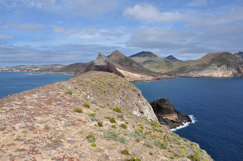
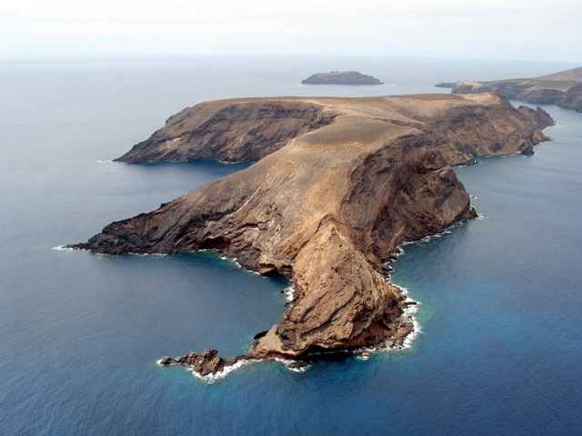
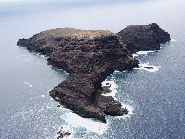
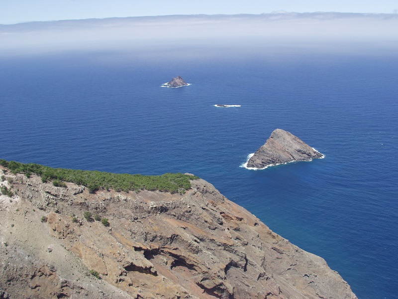
It is surrounded by six islets which correspond to the extension of its largest protrusions, to which are associated two low protrusions in an area of 21km2; the Islet of Baixo or Cal (179m), the Islet of Cima or of Farol or the Dragoeiros (121m), Islet of Ferro (115m), Islet of Fonte da Areia (79m), Islet of Cenouras (109m), Islet of Fora (100m), Baixo do Meio and Baixa dos Barbeiros.

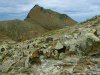
On the island, there are two zones of rugged terrain; one more imposing to the NE, the other is less significant to the SW, separated by a depressed, flat, sloped shelf, to the SE. In the NE sector, there is the Pico do Castelo (437m), Pico da Juliana (447m), Pico da Gandaia (499m), and Pico do Facho (517m), four types of terrain, separated very clearly from 150m of altitude; and between the aforementioned mountains and the coast facing E, three more types of terrain dominate, Pico do Maçarico (285m), Pico do Concelho (324m) and Pico Branco (450m).
The SW sector is taken up by three main elevations, above 100m: Cabeço do Zimbralinho (183m), Pico do Espigão (270m) and Pico de Ana Ferreira (283m). Among these three sectors, the terrain is suave, not going over 150m and sloping downwards from the north coast to the south coast, between Ponta da Calheta and Sítio do Penedo, forming a fine sand beach which extends for about 9km and defines the basin of Porto Santo. To the WNW there is another sector made up of Cabeço das Canelinhas (176m) and Cabeço de Bárbara Gomes (227m). The average altitude of the island is 112.5m, lower in the islets, 77.8m.
Over 85% of the island is below the 200m altitude and about 40% of the island is at an altitude inferior to 50m. Most of the area (54%) is between 50m and 200m in altitude, which corresponds to about 23km2.
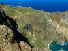
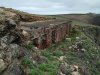
The coastline is quite uneven. It is deeply indented and with many escarpments to the east, north and west, with cliffs cut into volcanic or consolidated sedimentary rock, showing rolled stone beaches. In these cliffs to the N, erosion is more pronounced, followed by areas that encompass the continuation of these cliffs and next to the summits, as well as in the cliffs between the port and the west zone of the island and Serra de Dentro.
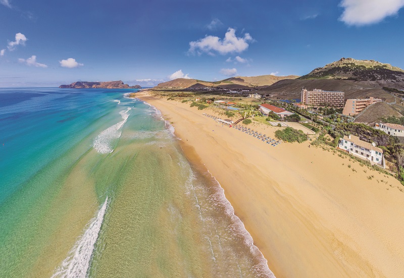
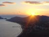
The coastline facing southeast is low and sandy, forming an ample bay made up of beach and fields of sand dunes of about 7km in extension with excellent quality bathing water. Around the island there is a significant shelf of shallow water marked by the presence of two of the main existing islets: Islet de Baixo, located to the south of Ponta da Calheta and Islet de Cima to the east of Ponta da Galé, to which can be associated Islet of Fonte da Areia, Islet of Cenouras, Islet of Fora and Baixa do Meio and Baixa dos Barbeiros.